")

Wind River Range Wyoming
Wind River Range, Wyoming
Words and Photography by Emily Olsen
When we first started planning this trip, the Winds were immediately on the list of places to go. I’m not sure why. Honestly I didn’t know anything about them. But something must have gotten though to me because it was one of the “not negotiable” places for the summer. And they were unexpectedly amazing.
The Winds are also remote. They’re in Wyoming, in the Bridger-Teton National Forest. Enough said. We drove nearly 30 miles on a dirt road from the middle of nowhere to a parking lot in the Southern section of the range called Big Sandy, which is apparently one of the easier places to get to.
Having not known much about the Winds it came as a surprise, after the one and a half hour drive, that nearly 100 cars filled the Big Sandy parking lot.
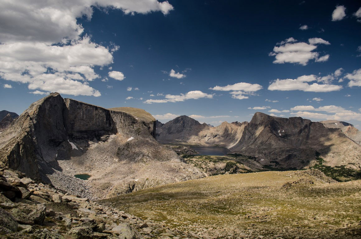
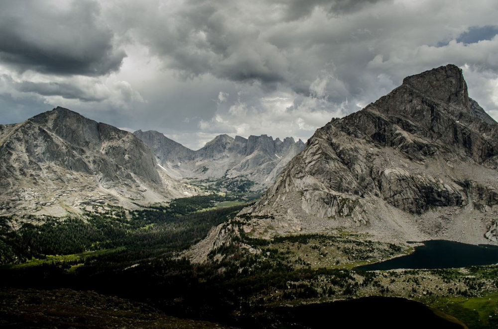
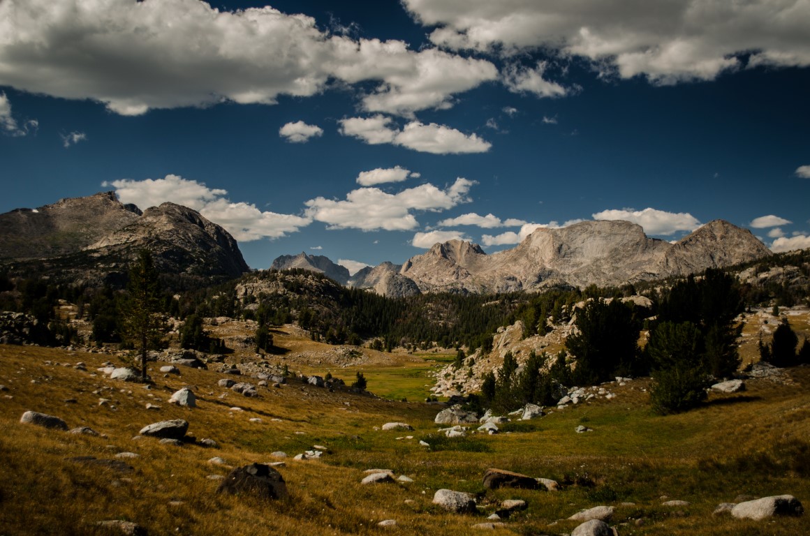
In terms of geology, the Wind River Range is one of the most unique places in the world.
In terms of geology, the Wind River Range is one of the most unique places in the world. In the Winds, you’ll see an amazing amount of displacement (which refers to two blocks of earth shifting past one another; one up, the other down) — some of the most in the world. The Wind River Range is also granite, which seems out of place (in a wonderful way) in the Rocky Mountains. Most of the Rockies are actually sedimentary in origin.
And, there are 31 peaks over 13,000 feet and they also hold roughly 180 glaciers, many of which are the largest in the Rockies (remember that this does not include the Cascade Range).
The Winds boast the most extensive glacier network in the lower 48. Gannett Glacier, which lives under Gannett Peak, Wyoming’s largest (at 13,809 feet), is the largest glacier in the Rockies. Combined the displacement, the height, and the glaciated history the Wind River Range produces a lot of “oh my gosh’s”.
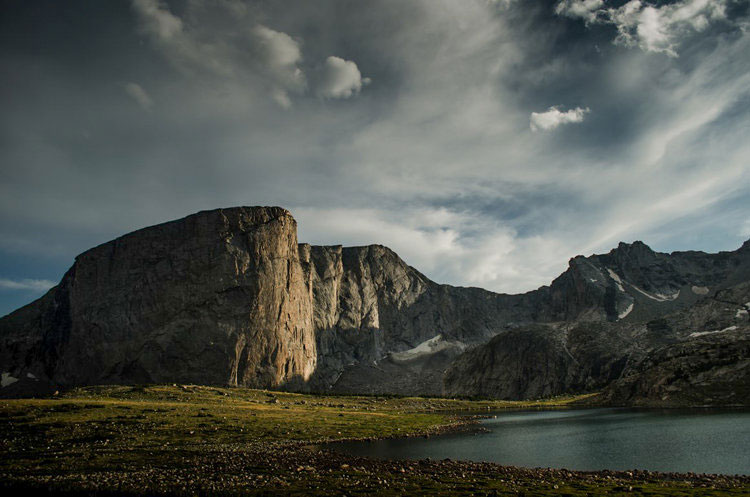
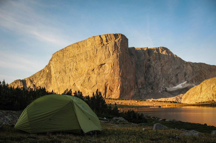
 The Winds are also known for the seasons – and there is no good season in the Winds. It is winter from mid-September to mid-June and most of June and July are reserved for the mosquitoes, which are famous there, comparable only to Alaska. So that leaves August and half of September, which is when the thunder storms come.
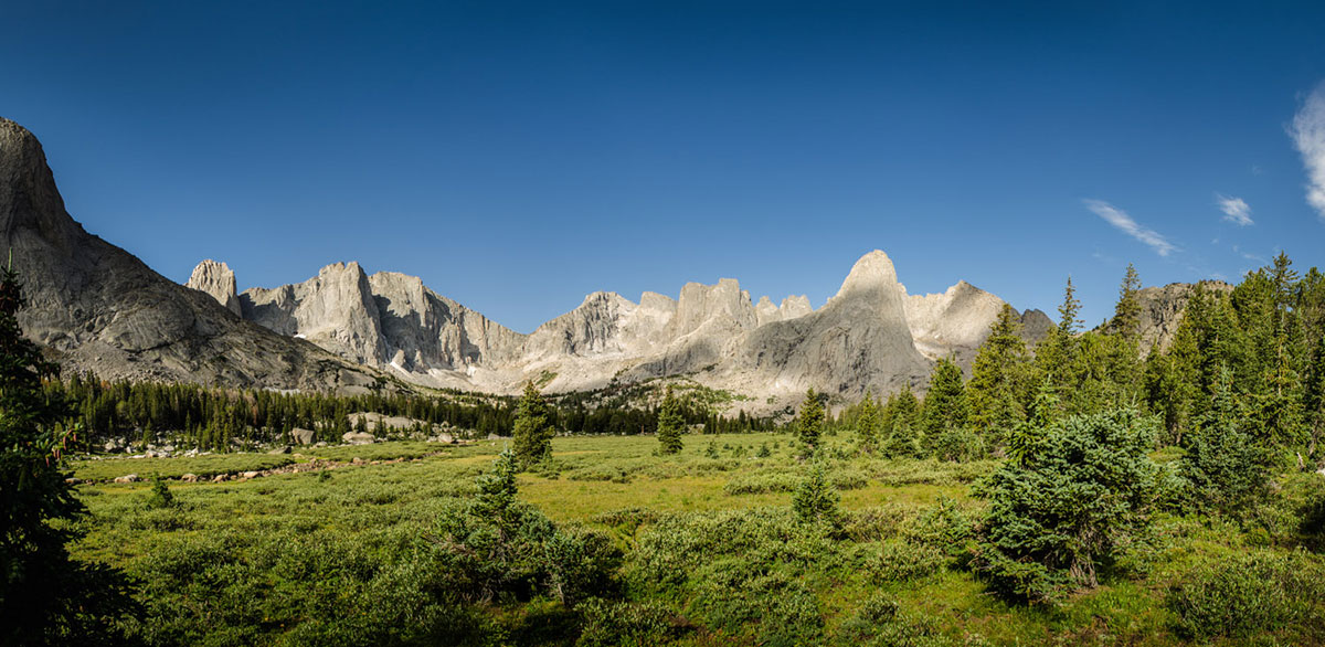
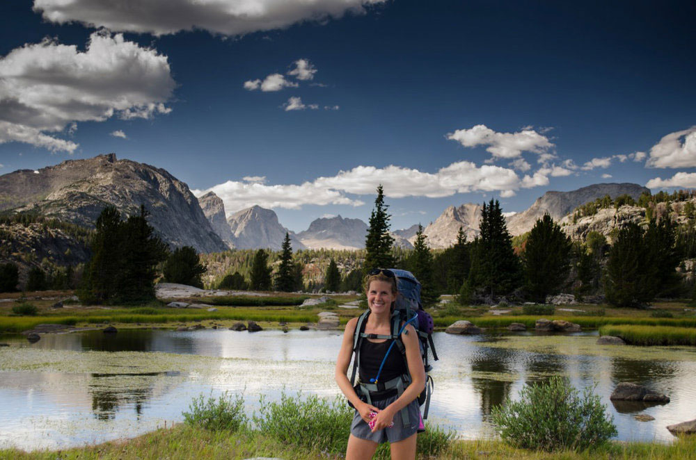
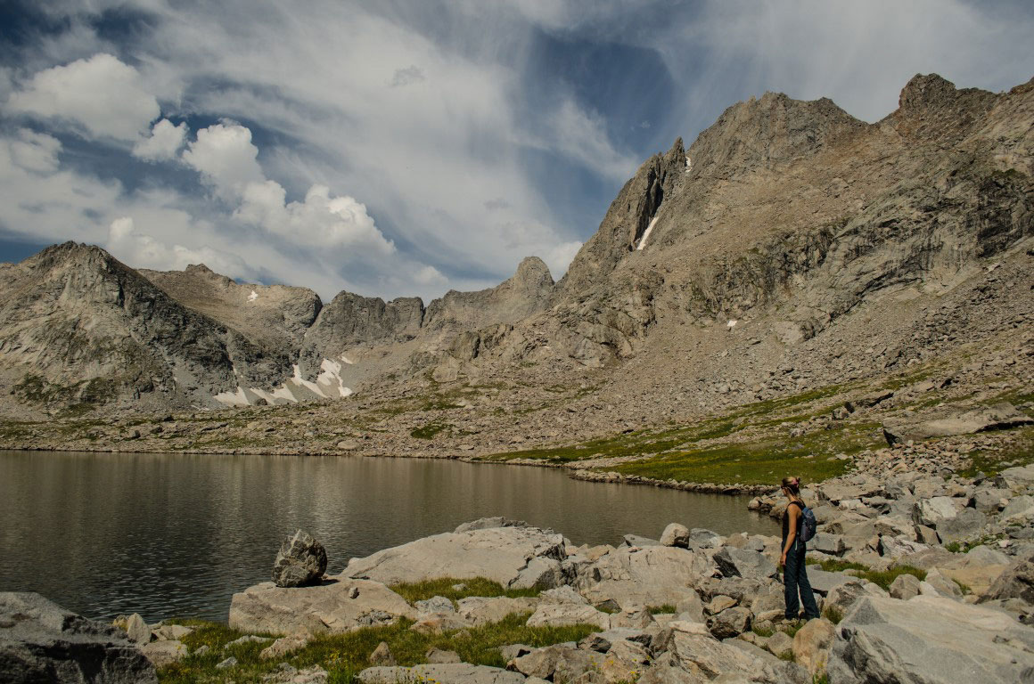
We planned to hike for five days, one of which would be reserved for a side trip or extra day in an area. Our trip took us over three passes; Haley Pass, Lizard Head Pass, and Jackass Pass (although we got a little lost and ended up going over another pass).
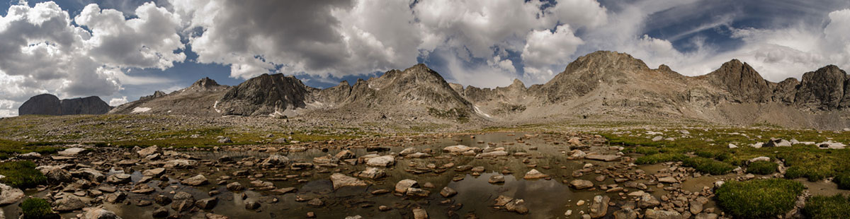
Day 1 and we were already seeing incredible scenery. Day 2 we were wondering why we never really heard about it. Day 3 and the storms came. Day 4 and 5 we dodged rain, did what we could to salvage the side trips, and embraced the amazing scenery.
Photos (C) 2016 Emily Olsen
Learn more about Emily’s work with the National Forestry Foundation on their Website and Facebook and find Emily on Instagram.

Be the first to comment