Hiking the W Trek
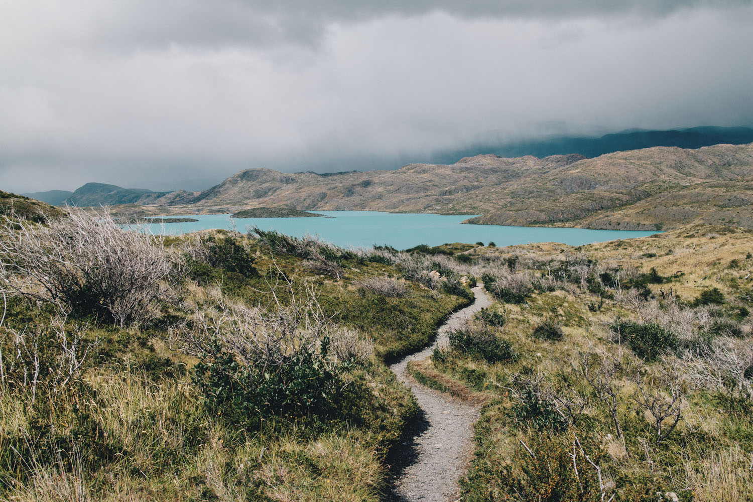
Hiking the W Trek
Torres del Paine, Patagonia
By Karen Wang
Introduction by Hailey Hirst
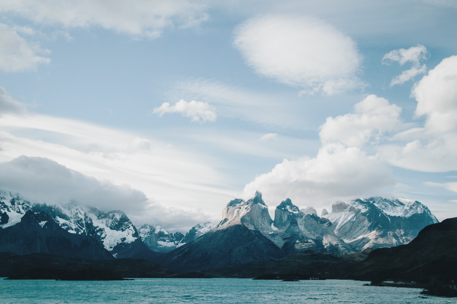
The W Trek is Chilean Patagonia’s most famous hiking route. It traces its way past the three granite towers that give Torres del Paine National Park its name, and the trail curves in a “W” shape as it courses along lagos and up the narrow draws between peaks.
In full, it’s a four or five day hike that can be walked between refugios or campsites with amenities like hot meals and showers. The trek can also be broken into day hikes, or incorporated into longer, wilder treks – like the complete eight or nine day circuit (aka the “O”) which winds around the backside of the park.
Karen Wang, a photographer and seasoned thru-hiker, trekked the W in late January of 2017. Her experience was rain sodden and wind whipped and everything she’d hoped for: glaciers, craggy peaks, and trails so high it feels like you’re inside the sky.
Find out more, in Karen’s words.
From Karen’s trip journal and through her lens:
We had originally planned to hike the circuit at Torres Del Paine but found out we needed permits three days before flying to Chile. The park had recently changed their regulations requiring reservations in advance to camp or stay inside the park. We hustled and tried to find alternatives such as the Dientes Circuit located at the very tip of South America in Isla Navarino. In the end, we were able to make reservations, but only for the W to stay at the refugios. The unexpected “glamping” was the best setup we could’ve asked for. It was our only ticket into the park, and we weren’t going to be picky!
After 3 flights and 2 bus rides, we finally made it to Torres Del Paine. I have never trekked in another country before, so this was a very big time in my life. One of the coolest parts of hiking internationally was resupplying at the local markets for Chilean snacks, cheese and best of all, local chocolate. I felt both nervous and excited to begin this hike.
**Mileage and elevation gain are approximations
Day 1: Torres Central to Las Torres to Torres Central
Distance: 11.8 miles (Round Trip)
Elevation gain: 2,427 ft
In Patagonian summer the sun doesn’t set until after 10pm and it’s bright by 4am. With this many hours of daylight we could sleep in and take our time eating and loitering, so we didn’t get going until noon.
We started off our trek with the best part first, Las Torres. It was nice being able to “slackpack” because this part just goes up and up. There is a road walk out from the hostel to where the trail starts. It is mainly all uphill to the towers and quite steep. The winds were so strong every time we rounded a corner on a ridge. I loved it.
- Starting out at the Refugio
- Las Torres
We got to the first Refugio and took a break in the sunny wind, it was so relaxing.
The final push all the way up is a steep “scramble” up rocks but a nice path. Up and over, and we finally saw the water and towers. The sun was glistening on small parts of the water and looked so magical. The wind was insane up there and literally blew our stuff away.
Torres Central
Day 2: Torres Central to Frances Domos
Distance: 8.1 miles
Elevation gain: 354 ft
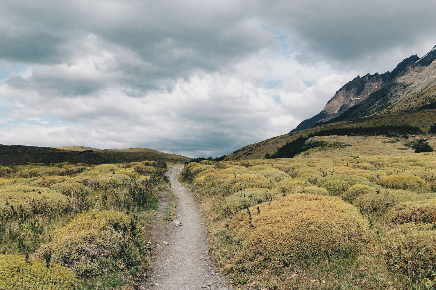
Everything this day was so pretty. So much wide open space, ridges and views of water and the back side of the towers. We were all in awe. We decided to take it easy since it was an 8 mile day.
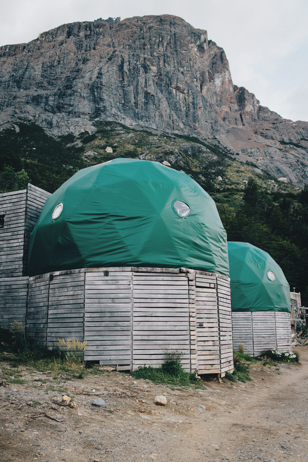
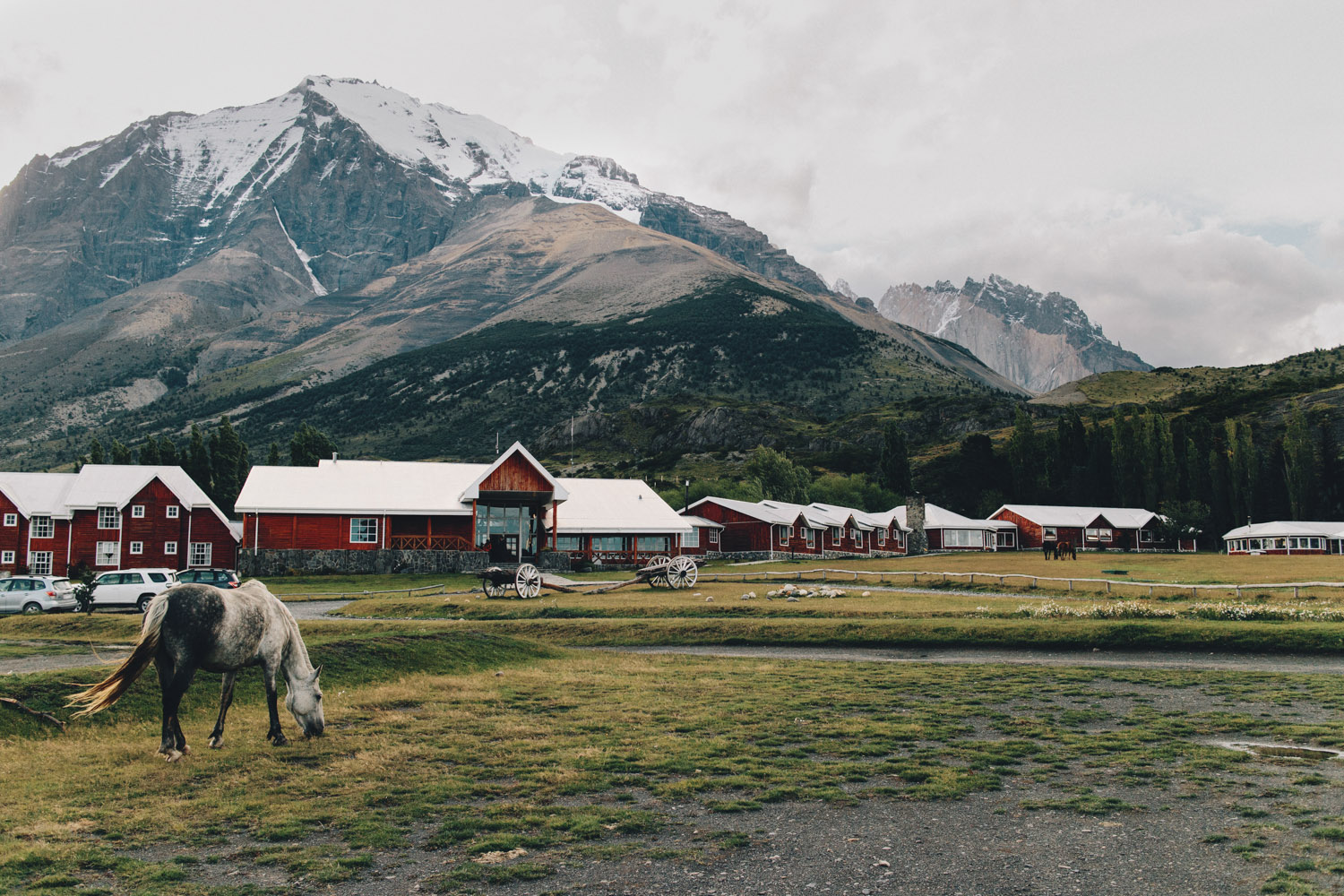
Domos
 There were climbs that were very steep and felt like forever but we finally arrived at the domos. It was so interesting – bunks, showers, toilets all in a dome shaped shelter.
They even had outlets! We were each provided with a sleeping bag but we were all scared to use it, so I used my own bag. Most people were eating dinner at the restaurant, but I didn’t want to buy any food. I ate cold mashies with tuna wrapped in a tortilla. I decided to take a shower but it was a bad idea because I didn’t have a towel. It was so cold.
Day 3: Frances Domos to Frances Valley to Frances Domos
Distance: 6.8 miles (Round Trip)
Elevation gain: 2,163 ft
It was so dark and warm in the domo that I slept so well. In the morning, the sun came through the circle window and lit up parts of the room. We were able to leave most of our stuff in the domo for the hike. (Another benefit of not doing a traditional thru hike!)
The views of the glacier were incredible and we just keep getting closer and closer. Most of the “trail” was on rocks, mud and streams. The rain was in and out but mainly rain all day. By the time we got to the top of the viewpoint, it was completely covered in cloud. It was kind of a bummer to climb that whole way and not see anything but that’s just the way it is sometimes.
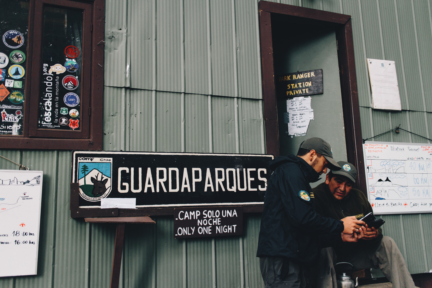
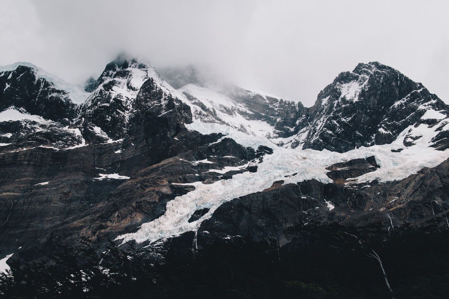
We headed back down and I finally started feeling a little chilly. The weather is great down here, even in rain. Everything just feels so refreshing and I love all the extreme wind. I was pretty soaked by the end of it but my inside shirt dries fast. I was so thankful that I knew I would be in shelter tonight. Never have we ever been so happy to have somewhere to dry out. All of this glamping is really luxurious. I finally got back to the domos and ripped off my soaked shoes. Oh, how I hate soggy feet!
Day 4: Frances Domos to Refugio Grey
Distance: 11.6 miles
Elevation gain: 508 ft
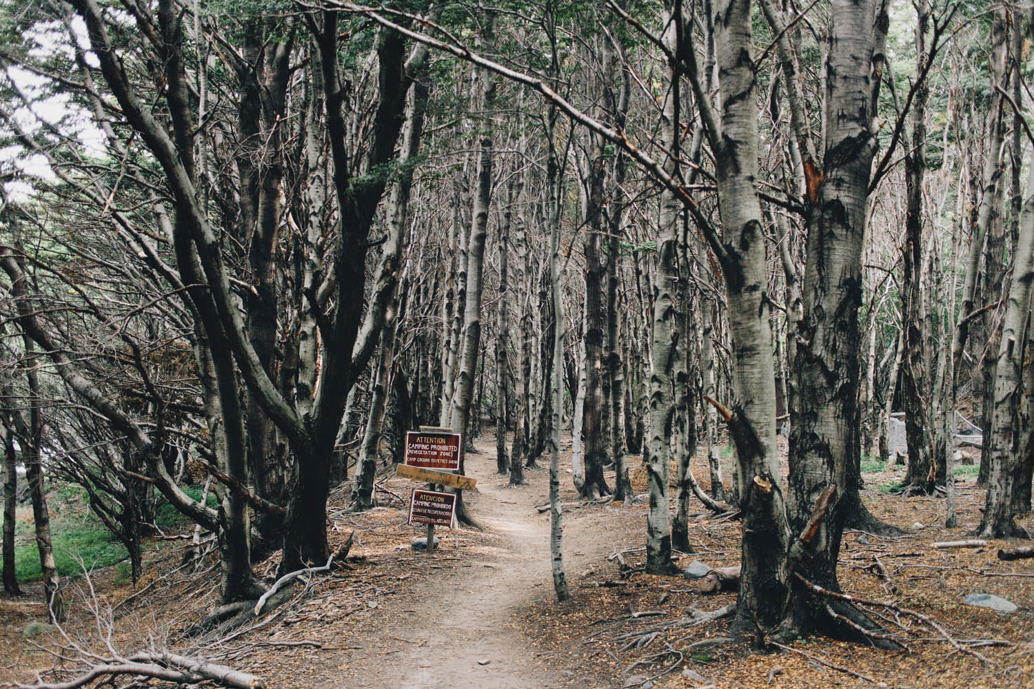
Today was our other long day at almost 12 miles, so I got started earlier. The first part of the day was in trees and lots of cloud and rain but the terrain was awesome. We passed through a burned section.
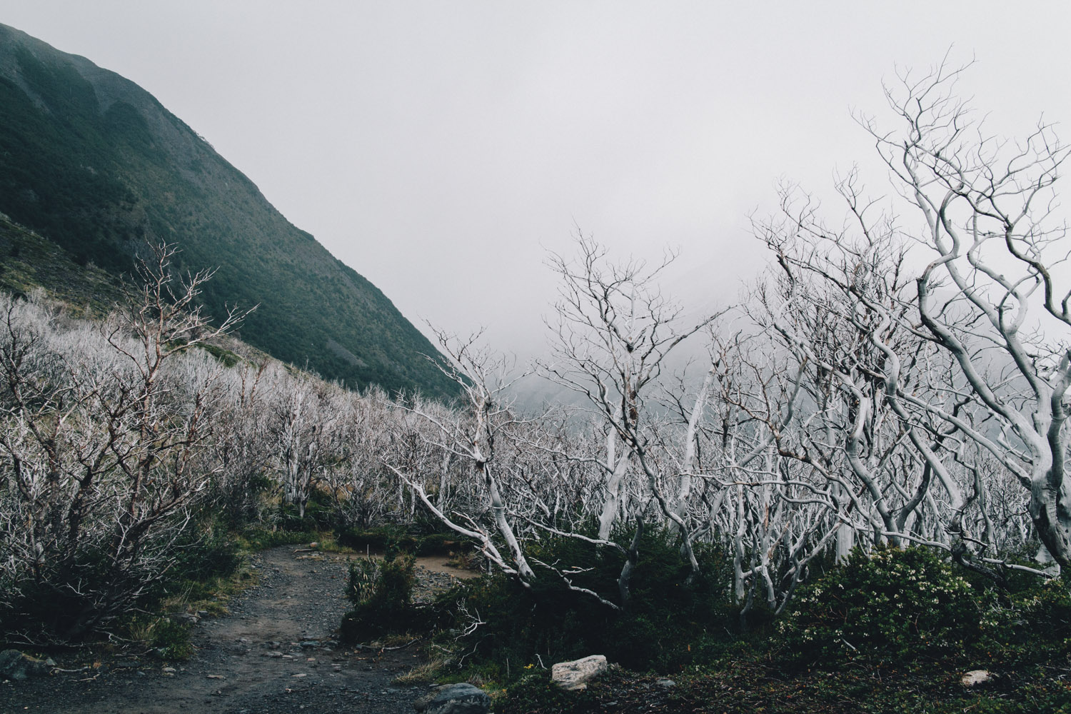
Remnants of 2011 fire
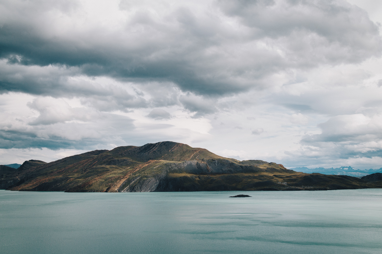
Then the forest turned into an overlook of this beautiful blue lake. You could see the catamaran crossing on the water. It finally led to the next Refugio where we all took a break from the rain. The campsite there looked amazing. It was all exposed but so pretty.
I didn’t stay long and wanted to take advantage of the sun again and headed out. The trail went into a valley and climbed up. Everything after this was so amazing, windy and rainy. The sun did come in and out so I dried off every other time. I finally saw the floating ice when I rounded the overlook and got closer and closer to Glacier Grey. It was a bit cloudy but still so cool.
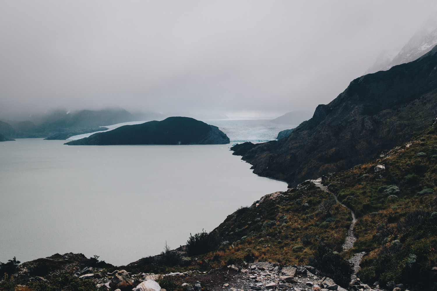
First look at Glacier Grey
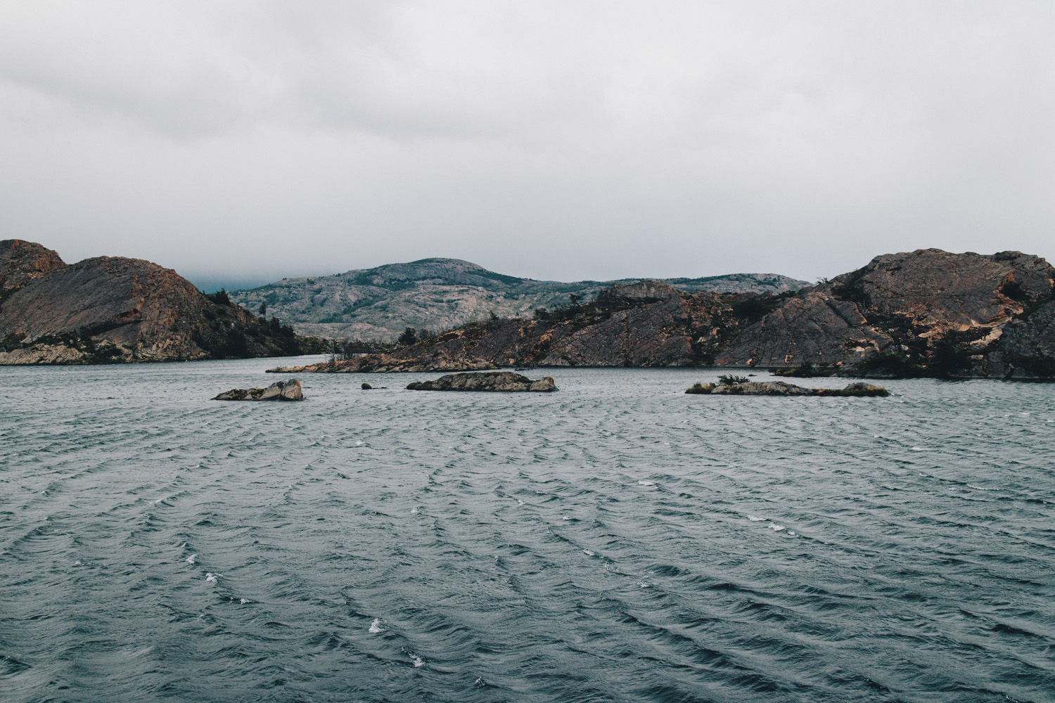
Whitecaps!
Almost every viewpoint was insanely windy. I’m not sure if this was the most intense wind I’ve ever been in, though. There were some pretty gnarly ones in the desert on the PCT. I felt pretty used to it. So many people passing by asked if I was cold in my shorts but I was not. It felt amazing and refreshing.
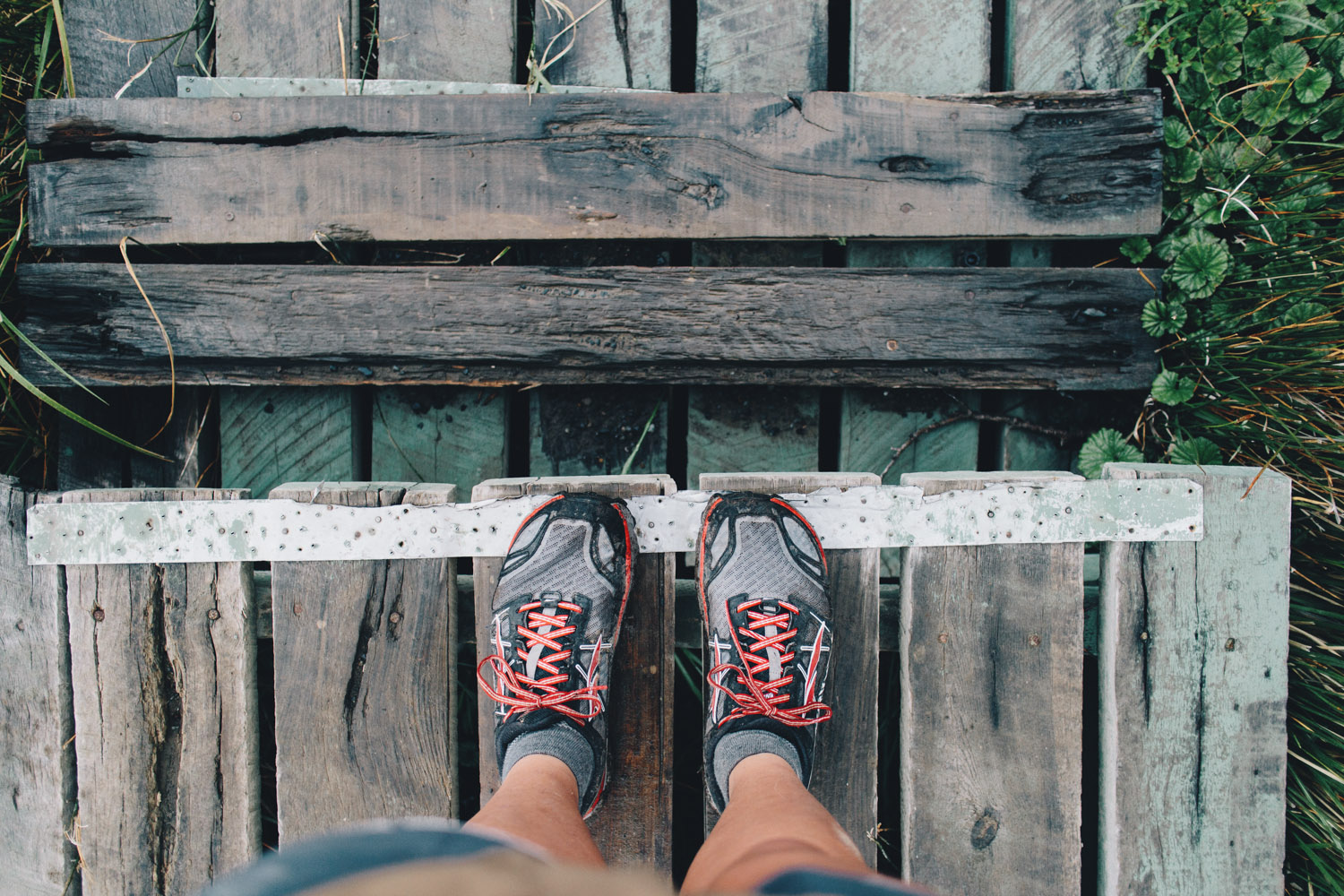
Shorts for the elements
After a long steep descent on rocks, water and mud, I reached our Refugio and checked in. I was told there weren’t any dinner reservations left, which was a bummer.
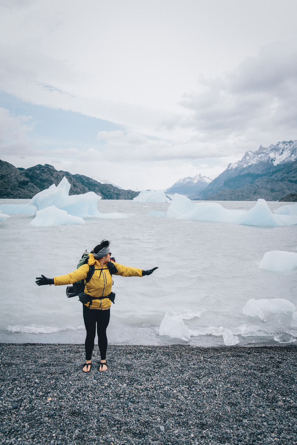
Icebergs from Glacier Grey
I was looking forward to a warm meal. But basically we just finished the W! We are playing it by ear and figuring out what to do next with two more days in the park.
Day 5: Refugio Grey to Nash Patagonia
Zero day, first night tenting!
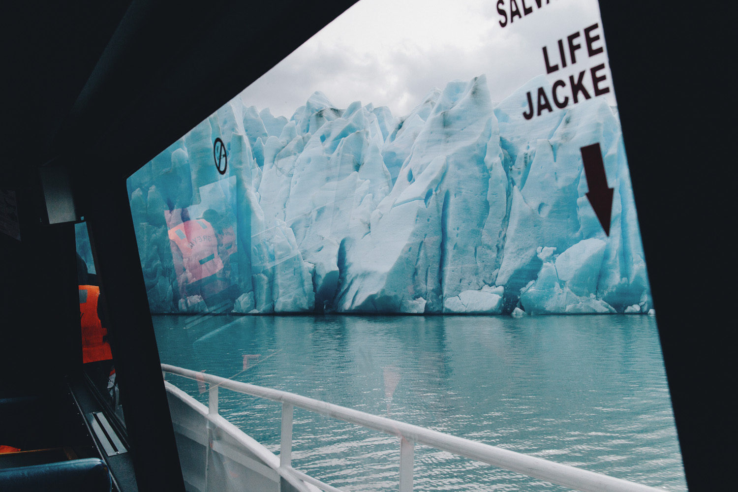
We decided we would try and catch the glacier ferry back to Torres Central. Surprisingly, we got on just fine despite the short notice. I ended up climbing up to the glacier viewpoint before the pass since there was time to spare. The ferry took us right up to the glacier and it was just amazing. We were all so stoked to have chosen this way back instead of hiking. We also got a free drink ticket for a pisco sour. The inside had warm comfy seating with tables. It was such a sweet experience.
Tips for hiking in Torres Del Paine:
- Do lots of research, planning, and ticket/accommodation/tour booking before you go! Don’t mess up like we did. Here’s a great resource on how to book campsites in Torres del Paine.
- It’s possible to travel light! We were able to get to and from the park without renting a car. It’s pretty standard to fly into Punta Arenas and take a bus from there to Puerto Natales. You then need to switch buses to get to the park. This site has a great rundown on how to get to Torres del Paine.
- Everything is expensive – food, drink, wifi, shelter, and towels. Having cash on hand for the shuttles is helpful, otherwise the Refugios took debit and credit cards.
- Even though I did bring my water filter, we barely had to filter anything. I usually carried enough to get me through each section but there are also lots of glacial water sources along the trail.
- As they always say, the weather is unpredictable. January is their summer there, so the temps weren’t too low but the wind truly is strong. A good rain jacket is nice. It’s important to have dry layers to change into when you get to camp. If you have time, stop at the 3 o’clock talk at Erratic Rock in Puerto Natales. They provide a simple run down of the park and you can rent last minute supplies.
- Chileans are the friendliest! Make lots of friends, tons of travelers from all over the world will be hiking.

Photos by Karen Wang
Karen is a Texas-raised, Seattle living, long-distance hiker, aspiring mountaineer and photographer that loves telling and hearing raw stories from passionate people. See more of her work at karenkwang.com and find her on Instagram.


Great piece, I felt like I was reliving my hike of the W its cool to see it from someone else’s perspective. That wind is no joke! I’m glad you got to see the Torres! When we did the hike the towers were hiding in the clouds.
The Best Locations you can visit in your holidays in 2023 at Boundary Waters Amazing clicks of pictures! we have done with same place and its look like a heaven on the earth and we enjoyed our trip. Before visiting this place, we consult with Boundary Waters Catalog about the place and we bought some tools from them. We got some information from some blogs and our trip was amazing.